Cold Season Exclusive: Explore Kannana Underground’s ‘Regulating Pond’ and Flood Protection Tunnel
Also featuring chamber music mini-concerts! What does this extraordinary Infrastructure Tour aim to convey?
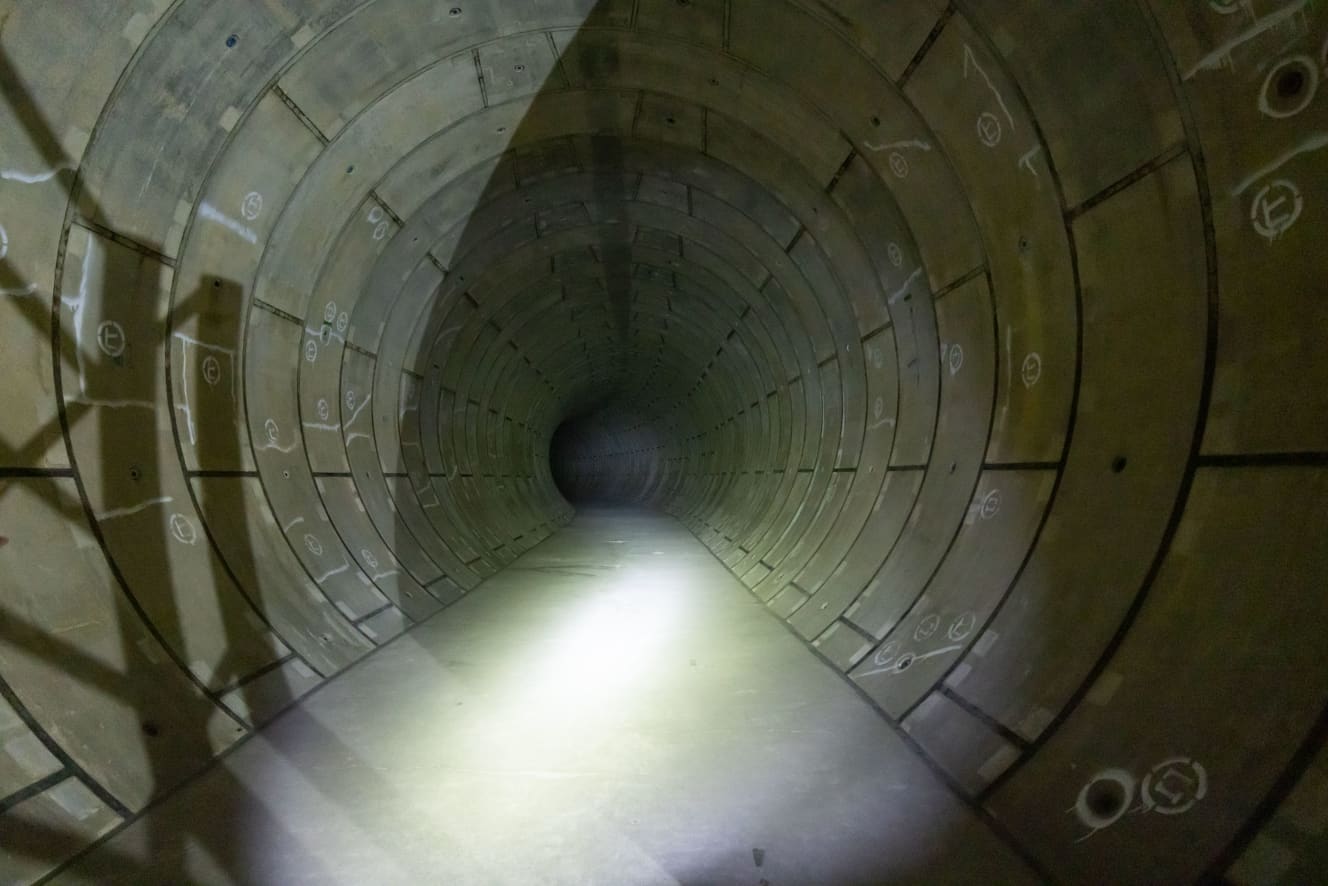
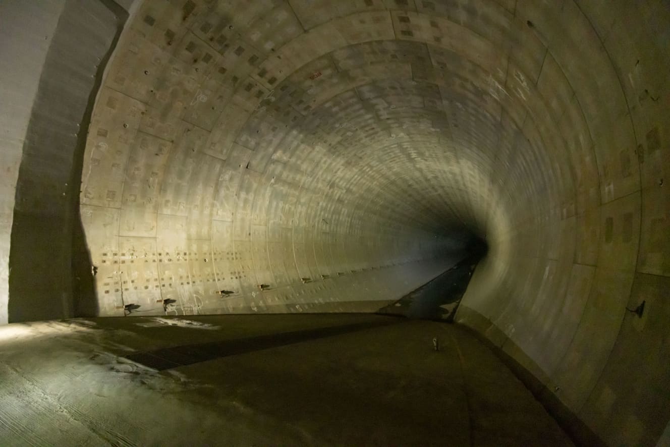
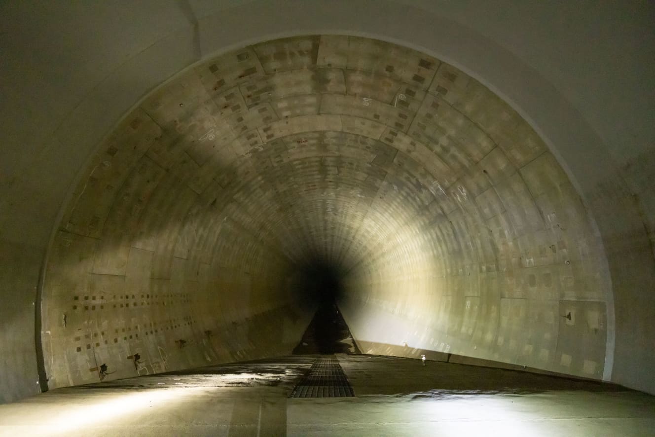
The “Kanda River and Route 7 Loop Underground Regulation Ponds Infrastructure Tour,” conducted from autumn to winter, is gaining popularity. This tour takes visitors underground to explore a river facility created as a flood control measure against typhoons and heavy rainfall, located beneath the Route 7 loop. The highlight is a visit to a massive tunnel, approximately 4.5km long from north to south and 40m underground, with a storage capacity of 540,000 cubic meters.
Alongside the extraordinary experience, the tour aims to convey the purpose and effectiveness of river facilities. In fact, Tokyo has been hit by numerous water-related disasters in the past, prompting various countermeasures to be implemented up to the present day.
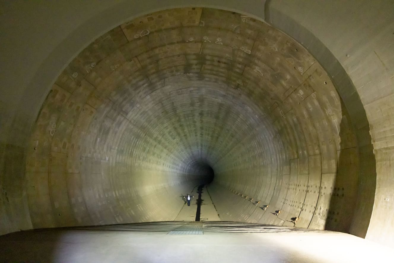
Children and adults alike can enjoy a tour of the “Giant Underground Tunnel”
This is an infrastructure tour of the Kanda River and Loop Route 7 Underground Regulating Basin, which has been held since before Corona and has been well received. The tours include a combination of tours of the underground control ponds and events such as classical music mini-concerts and yoga, as well as tours of popular spots in Tokyo such as Odaiba and Toyosu Market after the tour of the underground control ponds.
First, participants learn about the roles and mechanisms of the regulating reservoirs in a classroom lecture. After that, participants will see how the underground reservoirs work by flowing water through a model of the reservoirs.
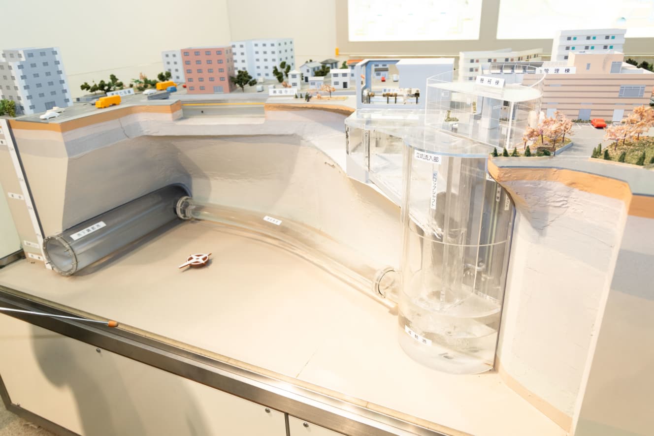
A water control reservoir is a facility that takes in flood water when the water level exceeds a certain level during heavy rains, and temporarily stores it in an underground facility. By taking water from rivers that are about to overflow, flooding can be prevented mainly downstream of the reservoir.
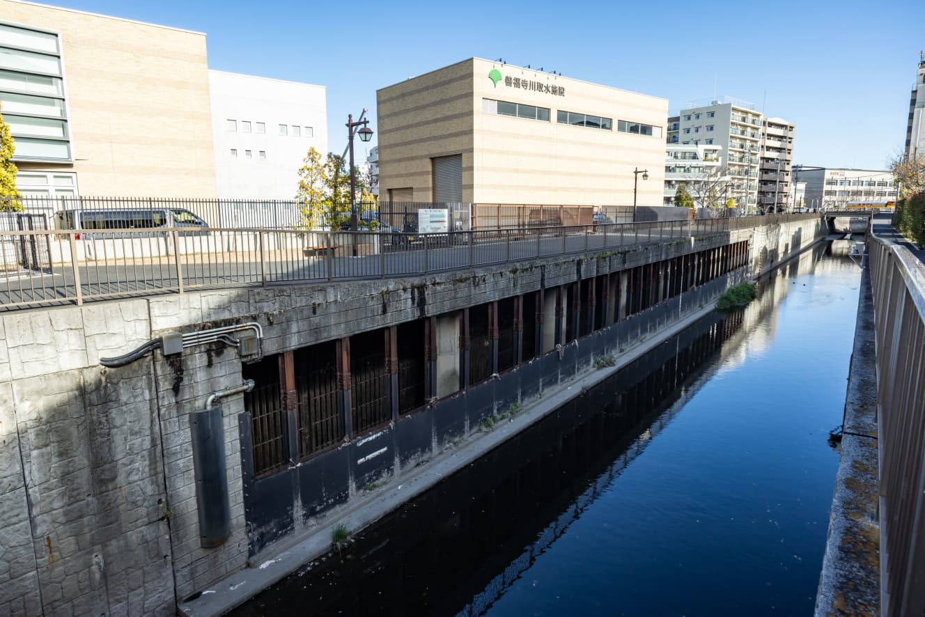
There are three types of reservoirs: dug-in, underground box, and underground tunnel. The Zempukuji River Intake Basin has a huge underground tunnel-type reservoir that stretches 4.5 km from north to south. Now that we had a better understanding of the facility, it was time to visit the highlight of the tour, the underground control pond.
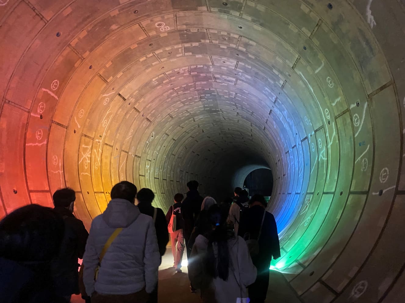
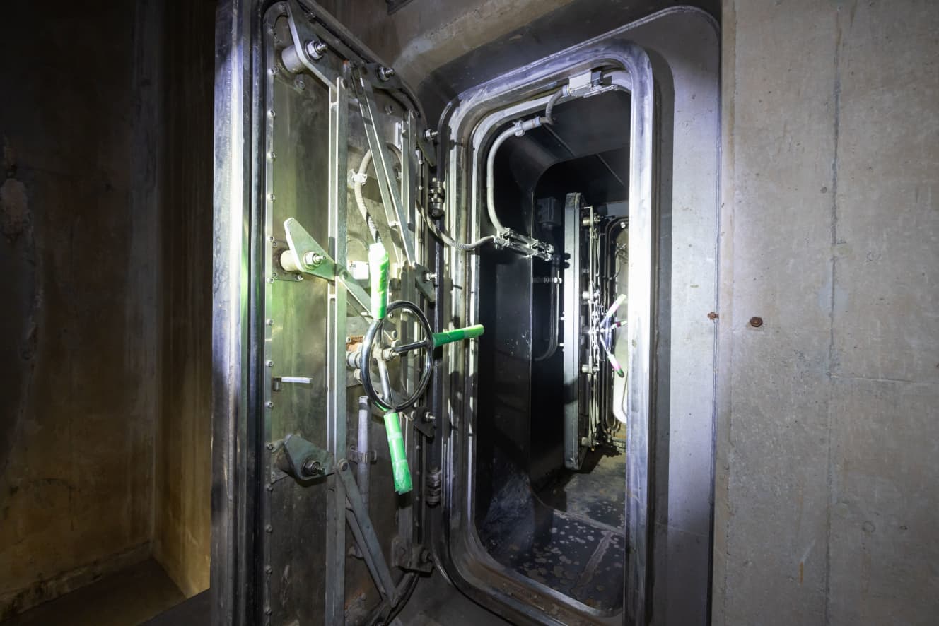
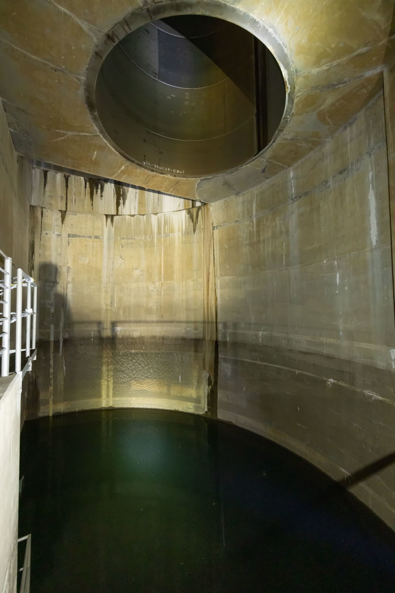
While descending about 40 meters underground and passing through the connecting pipe that serves as the entrance to the underground water control basin, a flow reduction basin that receives flood water taken from the river, the participants were repeatedly surprised by the sight of the tunnel.
When they arrived at the huge tunnel they wanted to visit, they confirmed its size and the traces of water storage. Afterwards, a special event that can only be experienced here begins.
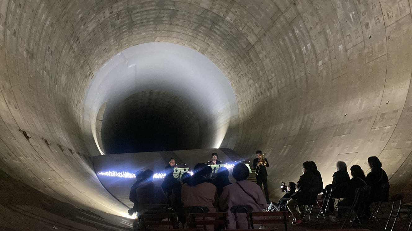
In particular, the classical chamber music mini-concerts, which have been held since last year, are highly popular, offering performances with pleasant reverberation and resonance. Participants express excitement and feedback such as, “The sound is powerful and very satisfying to listen to!”
History of Flood Damage and Countermeasures Since the Edo Period
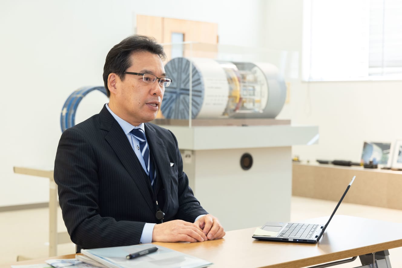
According to Mr. Osamu Watanabe from the River Department of the Tokyo Metropolitan Government Construction Bureau, “The Infrastructure Tour of the Kanda River and Route 7 Loop Underground Regulation Ponds was initiated to broaden understanding about the purpose and effectiveness of river facility development.”
“Tokyo has undergone urbanization and city planning alongside the founding of Edo by Tokugawa Ieyasu. When constructing Edo Castle, efforts were made to reclaim land, such as filling in the Hibiya Inlet (now near Hibiya and Shinbashi). However, frequent flooding, particularly during heavy rainfall, also occurred, prompting flood control measures to be implemented concurrently.
For example, the Arakawa River used to be a tributary of the Tone River, but channel diversion projects were carried out to separate it from the Tone River. Additionally, measures were taken to redirect the Tone River, which flowed into Tokyo Bay, to Choshi.”
The Kanpo Flood, the Tenmei Flood, and the Koka Flood are known as the three major floods in Edo. The Kanpo Flood in Kanpo 2 was particularly devastating, causing the Arakawa River to overflow and claiming many victims.
Even after the Edo period, devastating floods continued to occur in various eras, and into the Showa period, breaches in the Tone River’s embankments and flood damage caused by high tides were also recorded.
“Even during the Heisei era, for example, on September 4, 2005, heavy rainfall caused extensive flooding in the Kanda River basin. Similarly, in the first year of Reiwa (2019), Typhoon No. 19 brought record-breaking rainfall of 650mm in Okutama Town, resulting in numerous instances of flooding primarily in the Tama region.”
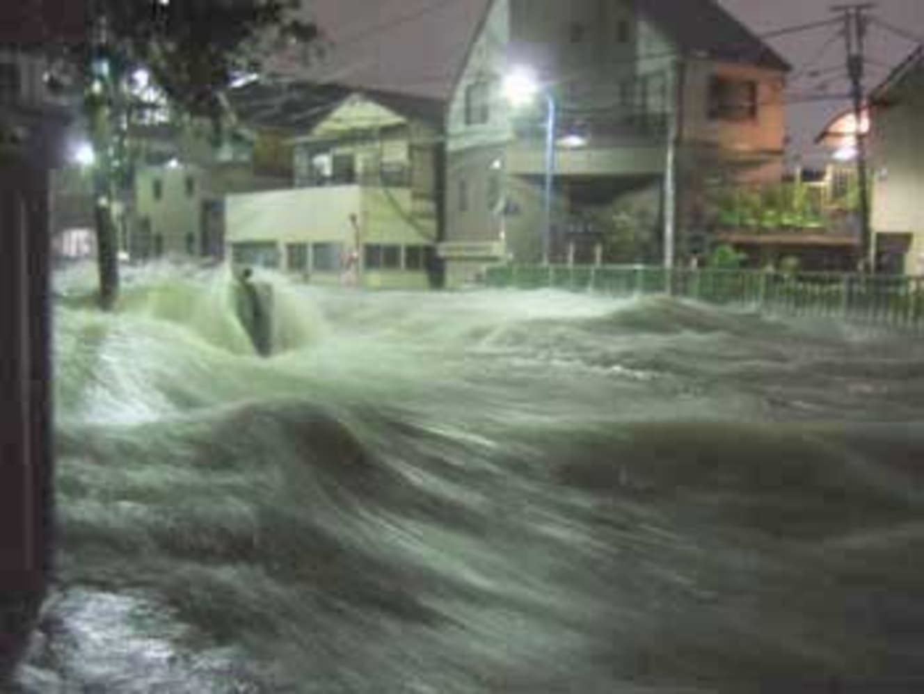
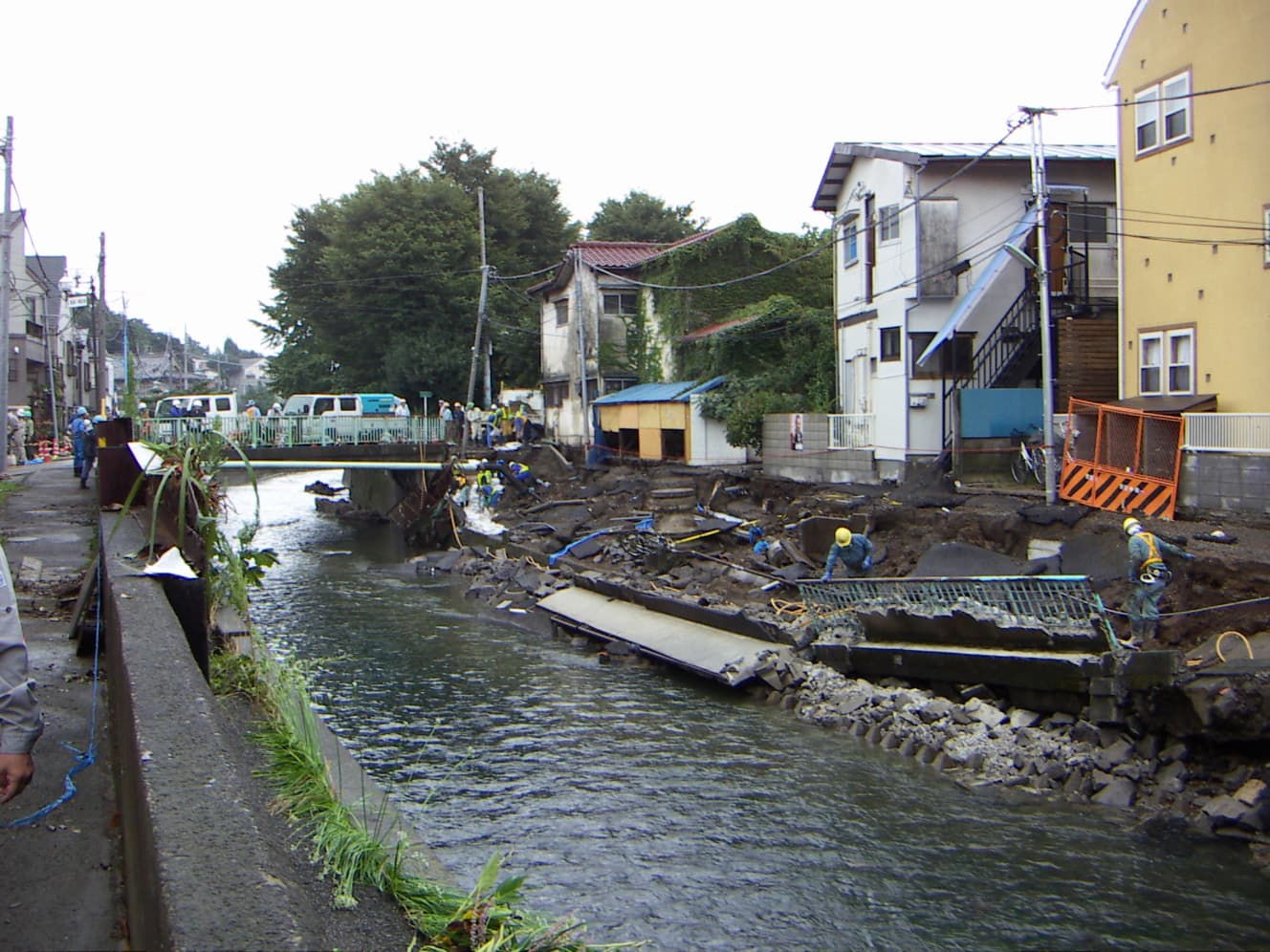
One of the reasons for this kind of flood damage is the topography of the southwestern Kanto Plain, which includes Tokyo.
“Tokyo extends longitudinally from east to west, with rivers flowing from the Tama Western Mountains and the Musashino Plateau in the west towards Tokyo Bay in the east. The eastern part, east of the Sumida River, is called the ‘Eastern Lowland Area,’ where the land is lower than the high tide level. As typhoons approach and atmospheric pressure drops, sea levels rise, necessitating measures to counter high tides.
On the other hand, in the western part, urbanization has led to less permeable ground due to asphalt and concrete coverings, making it more prone to flooding from heavy rainfall. Therefore, in the western part, it is necessary to expand rivers to efficiently channel water flow.
However, expanding rivers flowing through the city is not feasible. Therefore, flood control measures for rainfall exceeding 50mm are primarily conducted through facilities such as regulation ponds. Among these, underground tunnel-type regulation ponds have the advantage of requiring relatively small areas for necessary facilities, allowing water to be drawn from multiple points and basins, and enabling flexible adjustments of facility size and routes.”
Preventing worst-Case scenarios due to extreme weather and climate change
The essence of flood control in the western part of the Sumida River lies in the underground tunnel-type regulating reservoirs, which can be actually visited during the infrastructure tours. The first pit-type regulating reservoir was completed in Showa 47 (1972), and since then, a total of 27 regulating reservoirs have been operational throughout the city.
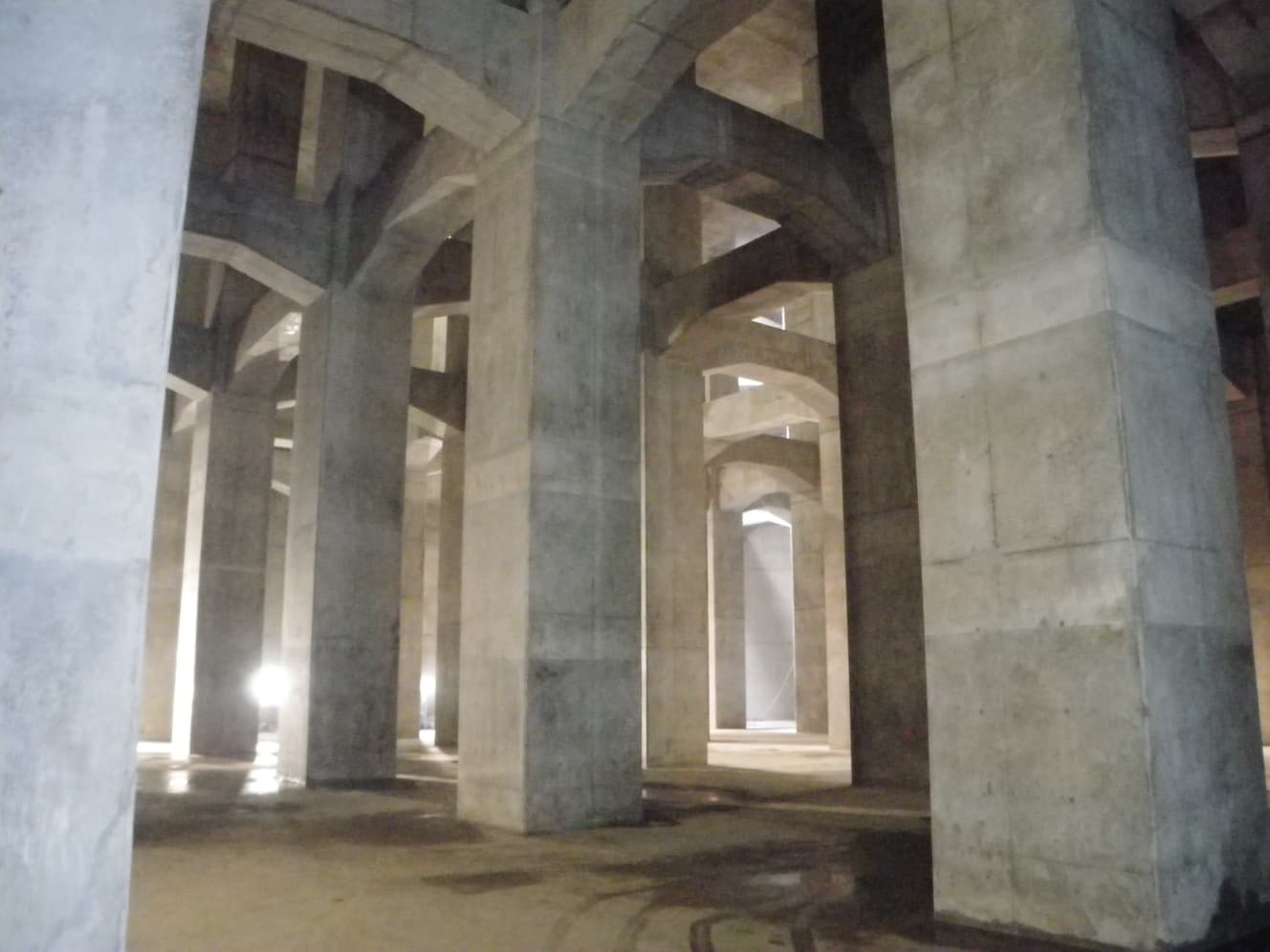
The completion and operation of the reservoirs has helped to reduce the damage, especially in the downstream areas of the reservoirs.
“In the Typhoon No. 4 of Showa 41 (1966) with a total rainfall of 303mm and maximum hourly rainfall of 33mm, there were approximately 40,000 flooded buildings. However, in Typhoon No. 21 of Heisei 29 (2017) with a total rainfall of 345mm and maximum hourly rainfall of 53mm, there was no overflow from the rivers. We attribute this to the proper functioning of the constructed regulating reservoirs.”
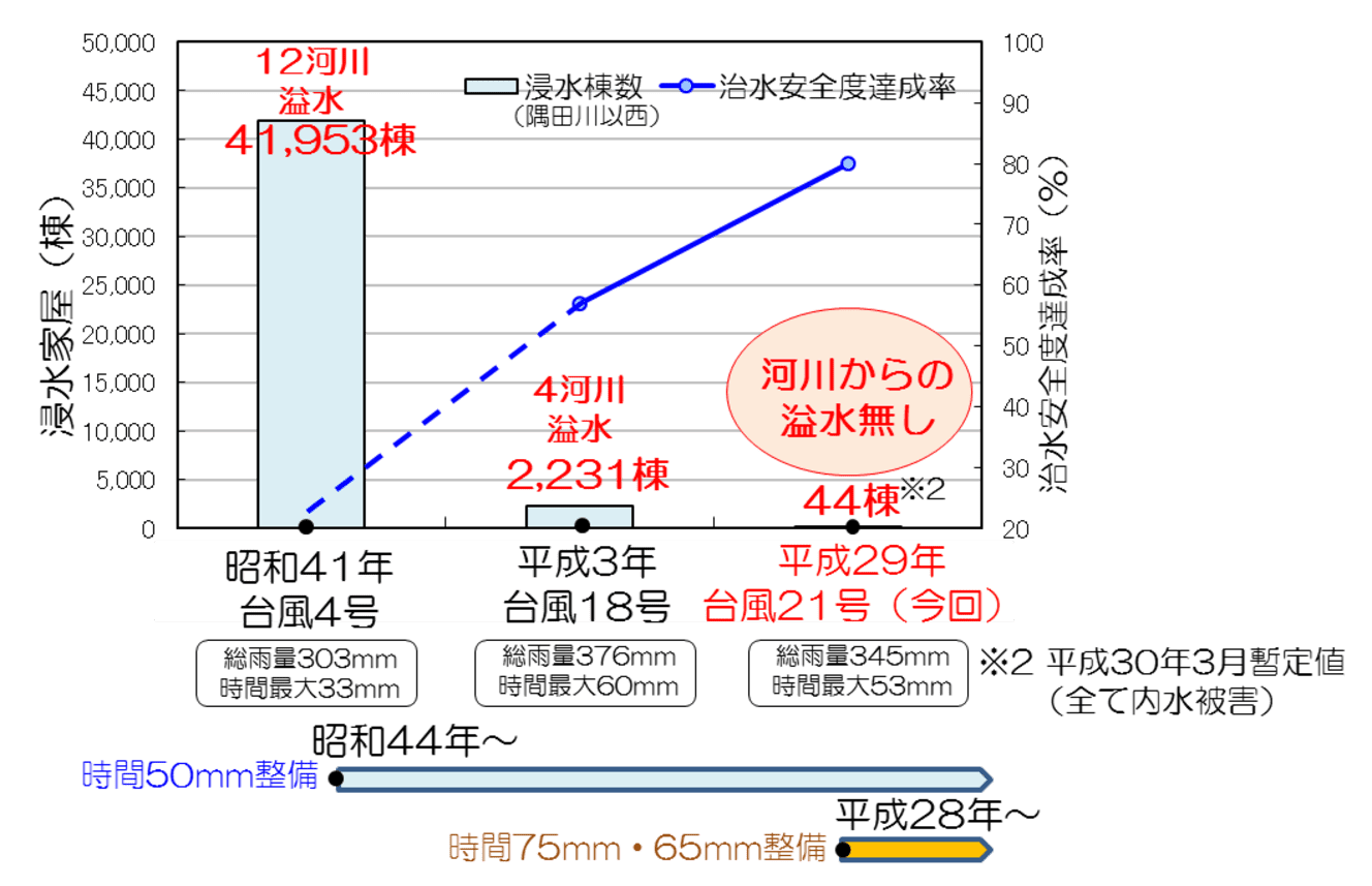
Thanks to the underground reservoirs, the safety of Tokyo residents is protected, but it is by no means perfect. The weather environment surrounding us is steadily worsening due to climate change triggered by the burning of fossil fuels, as well as extreme weather conditions caused by global warming.
In an effort to slow the pace of climate change, the Kyoto Protocol and the Paris Agreement have been established, and at COP28 last year, it was agreed to accelerate decarbonization.
“The average global temperature has risen by 1.1°C since 1850-1900, and it is expected to increase by an additional 0.9°C by 2100, according to a prevailing theory. To avoid this scenario, various countries are implementing measures to achieve the Sustainable Development Goals (SDGs) as part of their climate change mitigation efforts. However, there are various global concerns, so the goal is to halt the temperature rise at 2°C, which is being pursued worldwide.
Furthermore, if the world’s average temperature rises by 2°C, precipitation is expected to increase by 1.1 times, and sea levels could rise by up to 60cm by 2100. Given that typhoons are also expected to intensify due to global warming, flood control measures are crucial for Tokyo.”
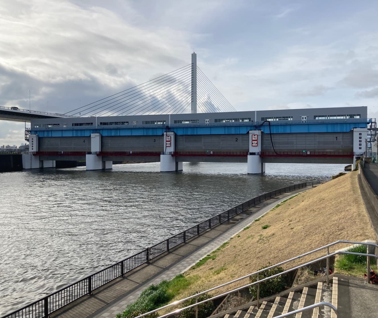
At the end of last year, the Tokyo Metropolitan Government released “How river facilities should be in light of climate change” with the goal of preventing rivers from overflowing in response to storm surges caused by increased rainfall, sea level rise, and stronger typhoons due to future climate change. In addition to raising the target maintenance level of flood and storm surge countermeasures in light of climate change and indicating a policy of strengthening countermeasures, the plan adds underground rivers using underground tunnel-type regulating reservoirs and networking of regulating reservoirs as new maintenance methods for flood countermeasures as a further level-up of countermeasures.
Underground rivers can be extended to the sea or other waterways and used as a downstream facility to continue to collect floodwaters, making them effective for heavy rains that last for several hours, such as linear rainfall events. Networking is a method of connecting multiple reservoirs to ensure the necessary reservoir capacity and to enable mutual exchange of reservoir capacity, making it effective for localized heavy rainfall exceeding 100 mm per hour.
“In addition to the measures we are taking, there are also actions that everyone can take. For example, installing rainwater retention and infiltration facilities at each household. This involves allowing rainwater that falls through gutters to permeate into the ground or collecting it in rainwater tanks to prevent runoff into rivers and sewers. The collected rainwater can be used for watering plants, among other purposes.
There are subsidy programs available for those who introduce rainwater retention and infiltration facilities, so after enjoying the tour, it would be great if you could also consider individual flood control measures.”

Interview and text by: Motoko Abegawa
Works as a freelance writer mainly for the web. She is also involved in the production of books and corporate PR magazines. She does not specialize in any particular field, but covers a wide range of topics that intrigue her, including history, comedy, health, beauty, travel, gourmet food, and nursing care.
PHOTO: Kenji Kawato